May 12, 2020: Difference between revisions
(Created page.) |
m (Added Rever map.) |
||
| Line 31: | Line 31: | ||
From Gray, I took GA-18 back to GA-23, then over to Publix for a couple of necessities. In all, it was about 100 miles of cool loveliness. I still want to get out west near Callaway. I better not push my luck too soon. | From Gray, I took GA-18 back to GA-23, then over to Publix for a couple of necessities. In all, it was about 100 miles of cool loveliness. I still want to get [https://a.rever.co/rides/1729544 out west near Callaway]. I better not push my luck too soon. | ||
{{* * *}} | {{* * *}} | ||
Latest revision as of 07:24, 14 May 2020
High Falls State Park covid-19: day 60 | US: GA | info | act
I can’t tell you how grateful I am to Autumn for letting me ride. Maybe she likes me out fo the house? Whatever it is, I’m happy I have such a tolerant and supportive wife.
Today, I was able to test my new GPS setup. I have to say that it worked flawlessly. I did not realize that Waze has a setting for motorcycles: just select it under “vehicle type.” I’m not sure if this really does anything, but it’s very cool to see the option. While Waze worked well—the iPhone was clearly visible in the direct sunlight and was in the perfect viewing location—I obviously couldn’t hear anything. This is not a really big deal, except that I was looking down at it more than I probably would if there were audio directions. While I don’t want to go overboard with the tech—after all, riding has always been like meditation for me—maybe a Bluetooth headset is called for? Regardless, I am very pleased with my new iPhone mount.
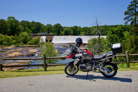
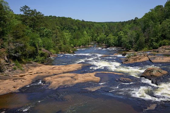
Not only does Waze know I’m a motorcyclist now, I can also tell it to avoid highways. Check. So, I set High Falls State Park as my first destination, and took off. As expected, I avoided I-75 by going up 41 to Forsyth, the GA-42 north, before taking a side road over to the park. Easy-peasy. Yes, I could have mapped it first and just committed the simple route to memory, but, man, this is so much easier. It’s amazing how much a GPS has become an integral daily technology. Thinking back, I wonder how I even rode for all those years without one?
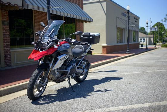
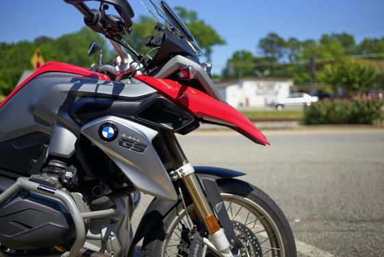
You can’t tell in either of these photos, but there were quite a few people at the park. I tried my best to keep some distance.
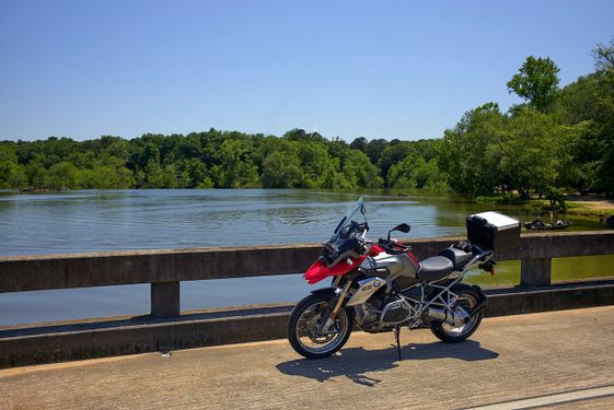
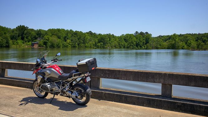
Next, I set Waze to take me to Juliette, as I wanted to ride through Piedmont National Wildlife Refuge again. Of course, I had to stop on the bridge to reset Waze and take a photo or two.
The ride through the reserve was lovely. I headed south on GA-11 in Round Oak toward Gray. Since I had Waze set for Round Oak, it kept trying to direct me there, even though I passed it. Here is the first issue with using the iPhone; I can’t turn it off while riding, since I’m wearing gloves. Annoying. I stopped briefly in Gray for a photo or two.
From Gray, I took GA-18 back to GA-23, then over to Publix for a couple of necessities. In all, it was about 100 miles of cool loveliness. I still want to get out west near Callaway. I better not push my luck too soon.
Since I discovered the motorcycle setting on Waze, I decided to see what other apps target motorcyclists. There are a few, notably Rever, Eat Sleep Ride, Riser, and Best Biking Roads. These seem to do mostly the same thing, but I might try them out and report back.
